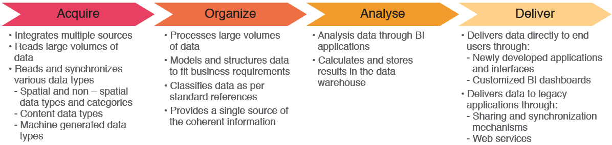
TAQNIA Space is introducing an end to end geospatial and intelligence service to serve decision makers with practical solutions, including but not limited to assets protection and monitoring, mission planning and operations optimization, and improved management.
Key Benefit
1. Provide a world-class, efficient, accurate, and timely service to key decision makers, empowering them to make well-studied decisions. 2. Serve timely needs of security agencies for data analysis and situation awareness. 3. Develop a single source of the truth for Geo-Intelligence and Imagery Intelligence data. 4. Ensure the development of world-class technology solutions based on international standards, supporting interoperability between the systems of the geographic information and accessing the information that belongs to it. 5. Support in protecting the environment by enabling the design and development of policies with effective progress data.
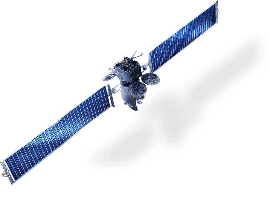
TAQNIA SPACE is focused on exceeding geospatial services in remote sensing. We have committed to invest in accelerating technology development for the Kingdom of Saudi Arabia, in partnership with KACST and Digital Globe to develop a constellation of highly capable small imaging satellites to support the needs of customers around the world.
Remote Sensing
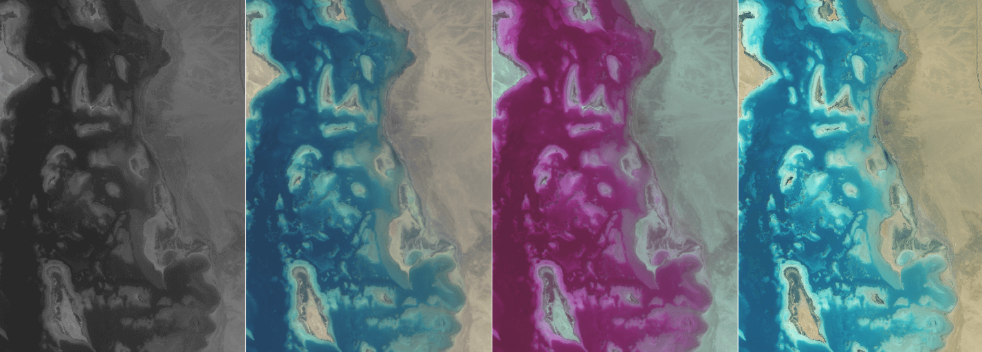
Satellite Images and LiDAR.
Provide access to various types of satellite images and LiDAR through KACST and partners, multi-resolution and multi-sensors.
Images processing and analysis.
Radiometric and Geometric correction.
Change detection and visual interpretation analysis.
Geospatial intelligence (GEOINT) and image intelligence (IMINT).